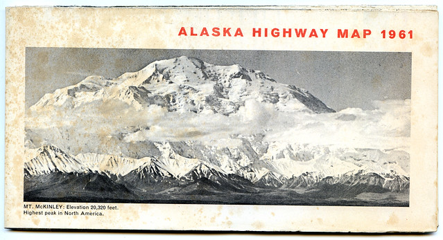
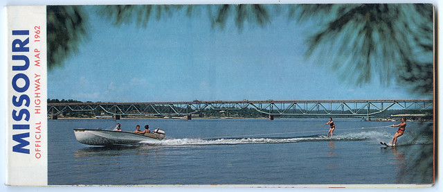
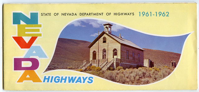
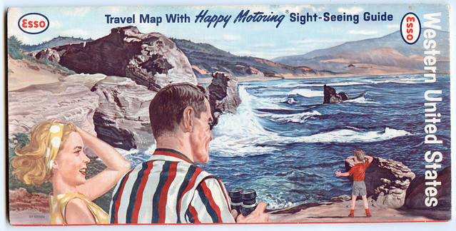
In 1963 my mum, Janet Gyford, travelled across America, and dipped into Mexico, and collected a load of stuff along the way. I’ve scanned in the covers of the 66 road maps she collected.
You can see them all in this Flickr album. While many are quite nice individually, they do look great all together on that page. Many of them were collected at gas stations, presumably why so many are branded by oil companies.
I wasn’t sure which to choose as examples here, so here are the only four whose covers are in landscape format (that Alaska one is probably the classiest of the lot, to my modernist eyes):
It might be interesting to scan some of the actual maps themselves but (a) time and (b) I wasn’t sure where to start. If you’re eager to see any particular parts of any of those 54-year-old maps, then let me know.
Commenting is disabled on posts once they’re 30 days old.


